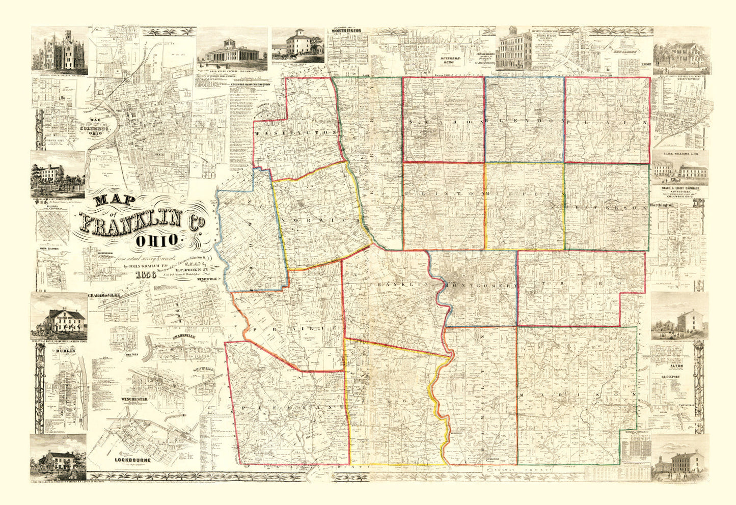
Discover a piece of history with our meticulously restored 1856 vintage map of Franklin County, Ohio. Perfect for local history buffs or anyone looking to add a touch of tradition to their home or office decor, this map offers a glimpse into the past. You might find it fascinating to trace the streets and landmarks of notable towns such as Columbus, Reynoldsburg, and Upper Arlington.
This map is more than just an artwork; it’s crafted for quality and durability. Each piece is ready to enhance your wall straight out of the box. If you opt for framed prints, know that they are lovingly constructed by hand with solid wood and stained frames. For canvas lovers, we utilize polycotton canvas stretched beautifully over solid wood bars. Our unframed prints also come on premium matte paper.
Gift someone—or yourself—a charming conversation starter that's both timeless and telling of Franklin County's rich heritage from over a century ago.