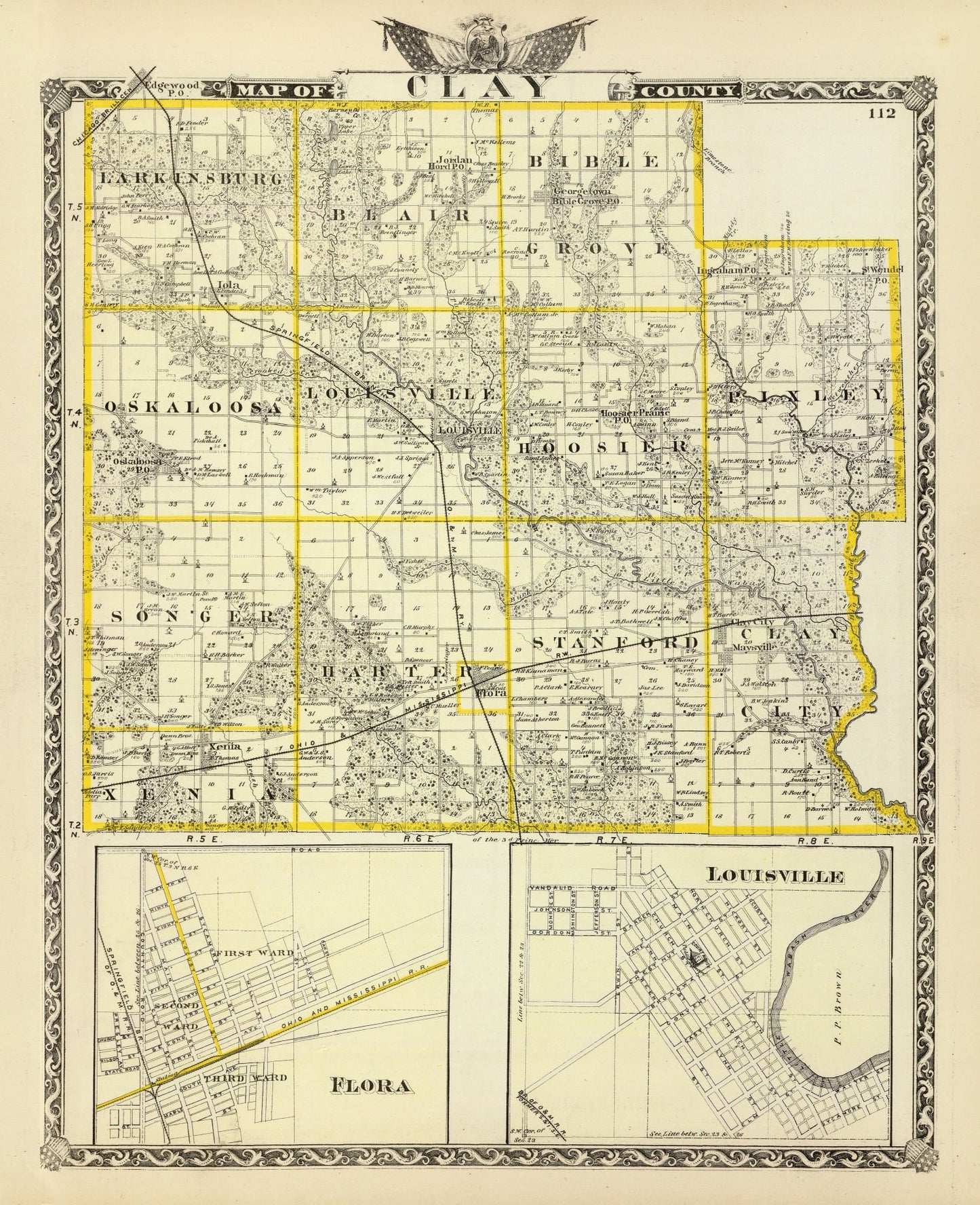
Discover a piece of history with our beautifully restored vintage map of Clay County, Illinois from 1876. This fascinating print showcases towns such as Flora and Louisville, offering a glimpse into the past of this unique region. Whether you're a local history enthusiast or just love adding classic elements to your decor, this map is sure to spark conversations in any room.
With premium materials used throughout the creation process, every detail stands out on high-quality matte paper for unframed prints or hand-stretched polycotton canvas on solid wood stretcher bars for something more substantial. Each framed piece is crafted by hand using solid wood that’s stained for an elegant finish.
This map makes for an ideal gift—ready to hang right out of the box—for anyone who cherishes regional history or appreciates timeless decor pieces. Add it to your home office or study and enjoy not only its visual appeal but also the historical journey it invites you on each time you pass by.