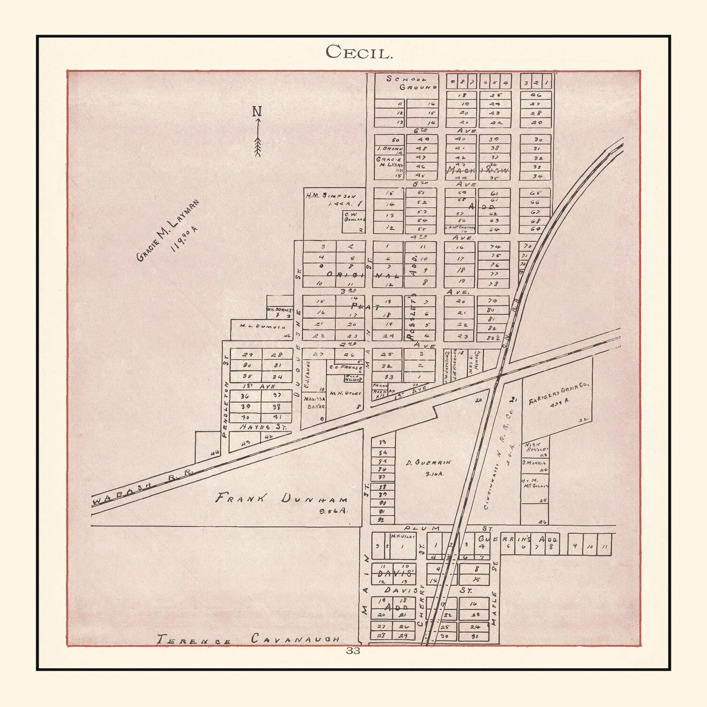
Step back in time with our digitally restored 1905 vintage map of Cecil, nestled in Paulding County, Ohio. A wonderful gem from history, this map is a delightful gift for anyone with a passion for local heritage or cartography enthusiasts.
This piece doesn't just sit on your wall; it engages guests and sparks conversations about the rich tapestry of U.S. history. Whether you choose our hand-crafted frame made from solid wood or opt for an unframed version on high-quality matte paper, this keepsake fits beautifully into any home or office setting.
If you're more of a canvas lover, you’ll appreciate our polycotton canvas stretched over solid wood bars—it’s ready to hang right out of the box. Our maps don’t just show geography; they reflect stories and dreams captured more than a century ago. Enjoy weaving these tales into your space with this perfect balance of tradition and style.