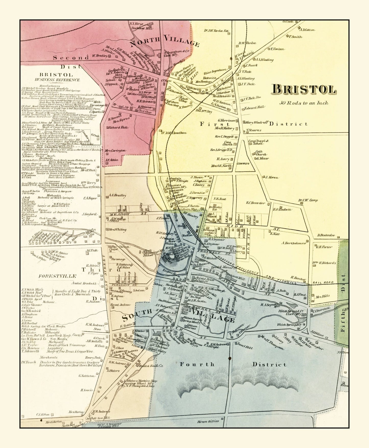
Discover the charm of 19th-century New England with our digitally restored vintage map of Bristol, a unique piece from Hartford County, Connecticut, dated back to 1869. Designed with enthusiasts of local history in mind, this map makes a thoughtful gift for anyone who treasures regional stories or simply adores classic decor.
The quality of our materials speaks volumes. Each piece is crafted by hand—whether it’s framed in beautifully stained solid wood or printed on durable polycotton canvas stretched over sturdy wooden bars. If you opt for an unframed version, you'll enjoy high-quality matte paper that truly brings out the rich details of this historical map.
This ready-to-hang masterpiece doesn’t just adorn your wall; it invites conversation and celebrates your connection to the area. Whether it's featured in a cozy corner at home or lending sophistication to your office space, this map beautifully combines tradition with timeless elegance.